Log in
All resources
Create a design
34,149 Free Images of 1768 Maps
old maps of the dutch east india company
maps of the west-indische compagnie
maps of the dutch east india company - indonesia
claes jansz. visscher (ii)
maps in the stadsarchief amsterdam
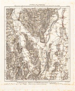
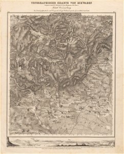
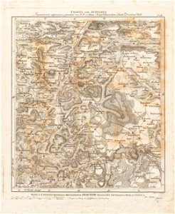
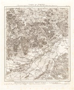
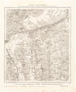
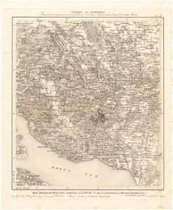
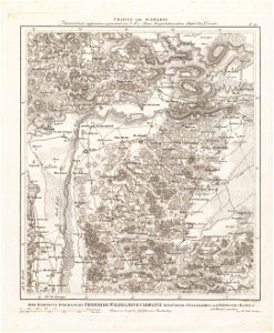
charte von schwaben (bohnenberger)
maps of the dutch east india company - india
1724
johannes van keulen
1747)
maps of the dutch east india company - indonesia
1598
old maps of the dutch east india company
1705
maps of the dutch east india company - south africa
old maps of the dutch east india company
1705
old maps of the dutch east india company
1665
old maps of the dutch east india company
1598
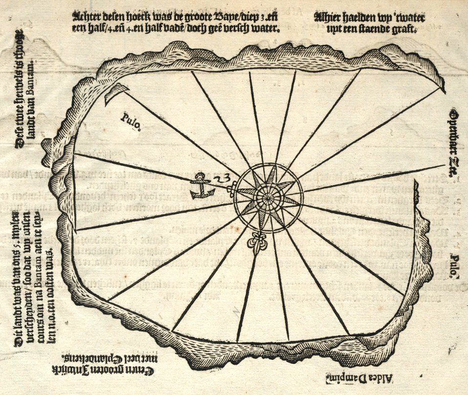
maps of the dutch east india company - indonesia
1598
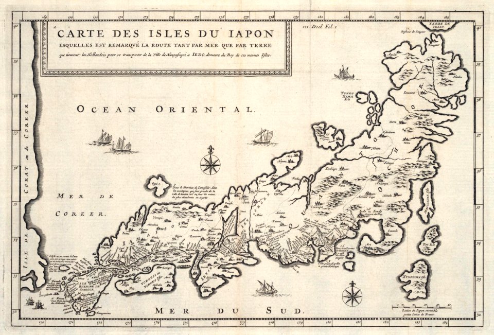
maps of the dutch east india company - japan
1718)
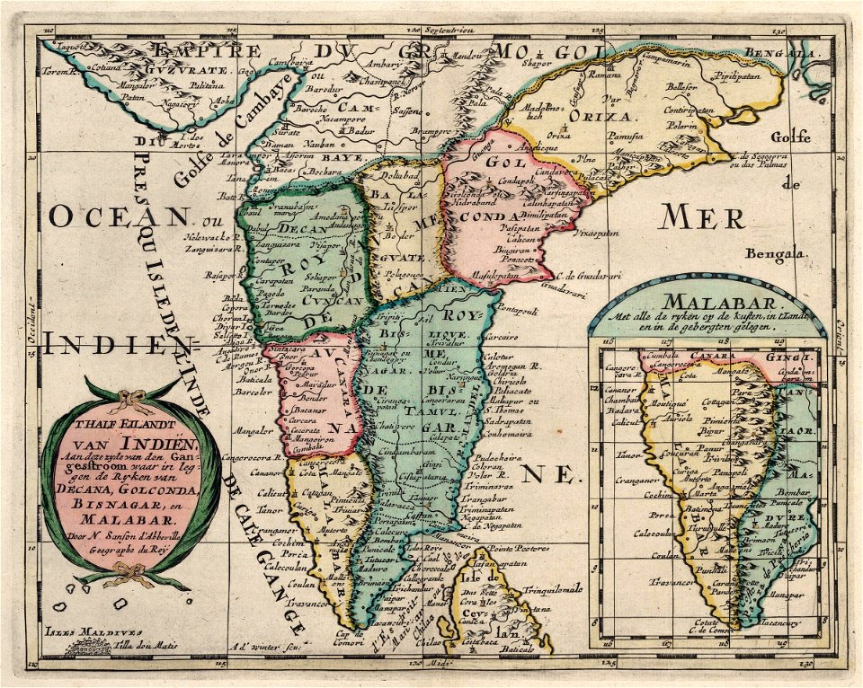
maps of the dutch east india company - india
1705
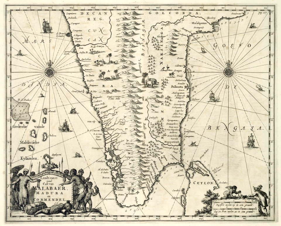
maps of the dutch east india company - india
1682)
maps of the west-indische compagnie
1644
old maps of the dutch east india company
1710
old maps of the dutch east india company
1786
maps of the dutch east india company - indonesia
1682)
maps of the dutch east india company - indonesia
1739
maps of the dutch east india company - indonesia
1744
maps of the dutch east india company - indonesia
1682)
maps of the dutch east india company - indonesia
1744
maps of the dutch east india company - indonesia
1724
maps of the dutch east india company - indonesia
1740
maps of the dutch east india company - indonesia
1739
maps of the dutch east india company - indonesia
1724
old maps of the dutch east india company
1730s
maps of the dutch east india company - indonesia
1724
old maps of the dutch east india company
1724
maps of the dutch east india company - indonesia
1724
maps of the west-indische compagnie
cornelis goliath
old maps of the dutch east india company
1730s
maps of the dutch east india company - indonesia
1740
maps of the west-indische compagnie
johannes van keulen
maps of the west-indische compagnie
johannes van keulen
old maps of the dutch east india company
1730s
maps of the west-indische compagnie
1745
maps of the west-indische compagnie
johannes van keulen
maps of the dutch east india company - indonesia
1724
old maps of the dutch east india company
1747)
old maps of the dutch east india company
1747)
maps of the west-indische compagnie
johannes van keulen
cornelis goliath
1662
maps of the west-indische compagnie
1745
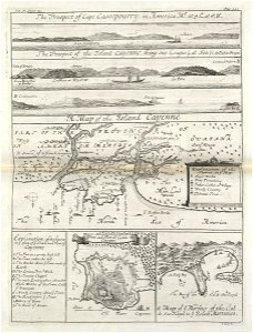
maps of the dutch east india company - mauritius
1753
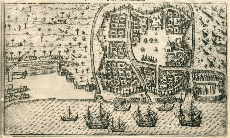
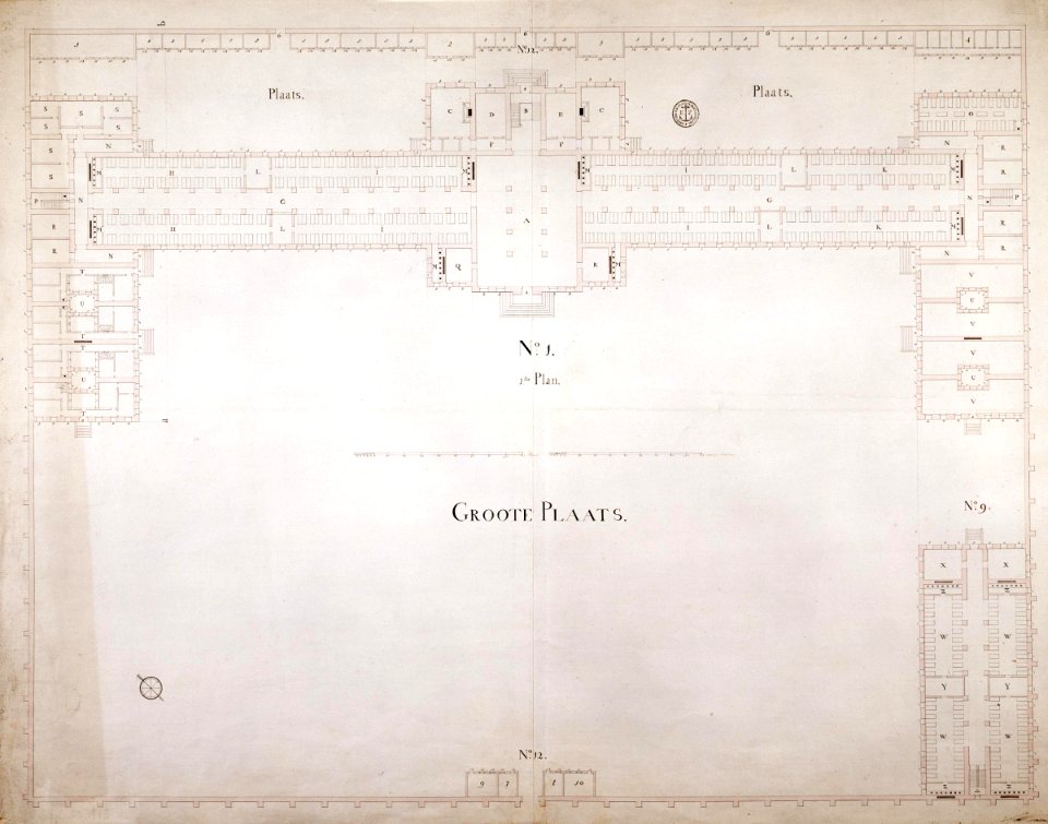
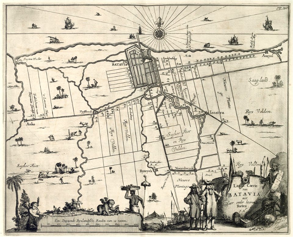
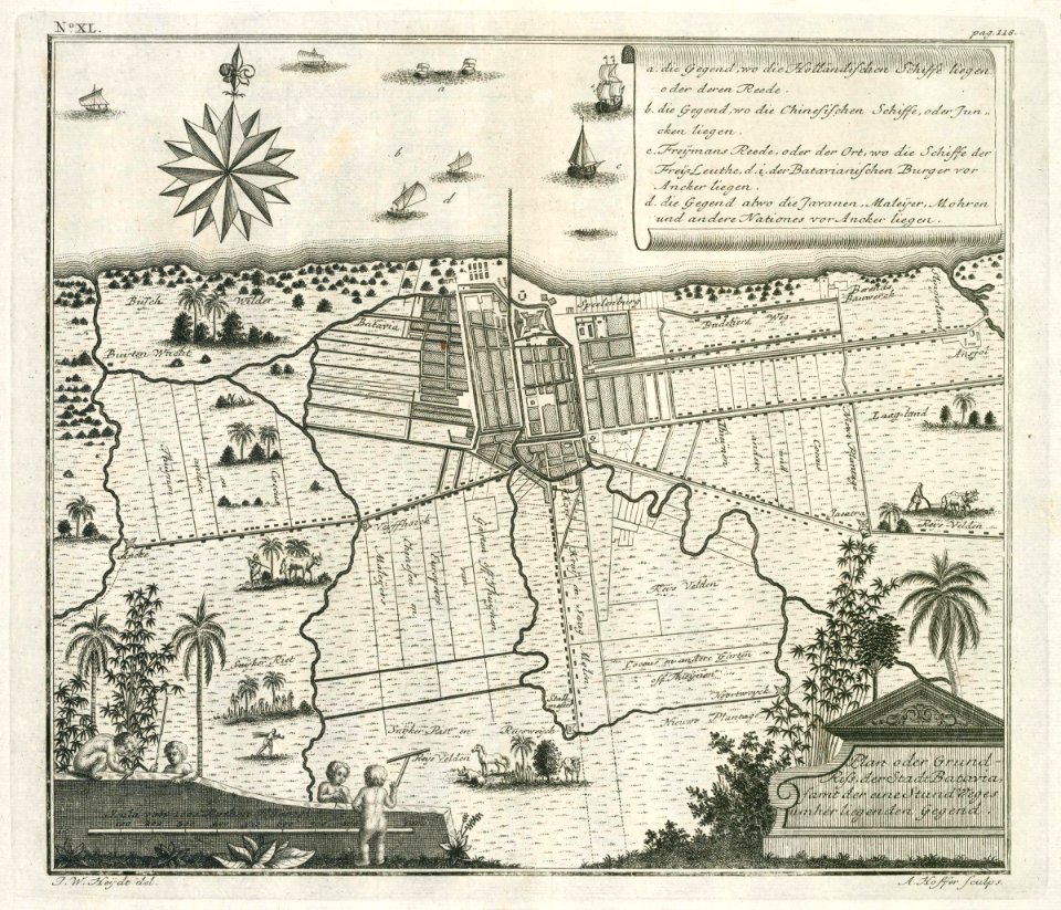
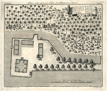
batavia castle
1753
abraham goos
1624
old maps of the dutch east india company
1747)
saint-louis region
1747)
maps of the dutch east india company - mozambique
1747)
maps of the dutch east india company - india
1755
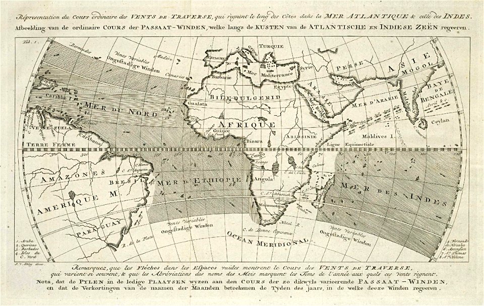
maps of the west-indische compagnie
johannes van keulen
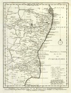
maps of the dutch east india company - india
1756
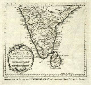
maps of the dutch east india company - india
1746
old maps of the dutch east india company
1622
maps of the dutch east india company - india
1756
maps of the dutch east india company - india
1755
old maps of the dutch east india company
1763
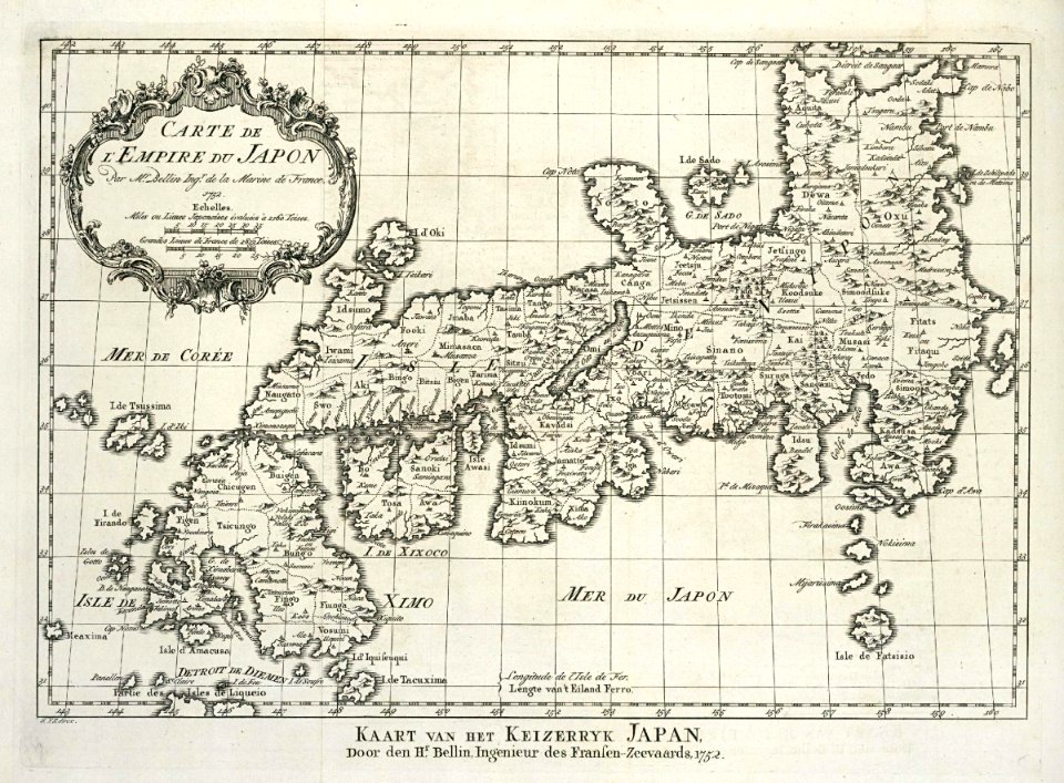
maps of the dutch east india company - japan
1756
maps of the west-indische compagnie
1732
maps of the west-indische compagnie
1732
maps of the west-indische compagnie
1770s
maps of the dutch east india company - china
1746
old maps of the dutch east india company
1622
maps of the west-indische compagnie
1732
old maps of gelre (geldern)
atlas de wit 1698
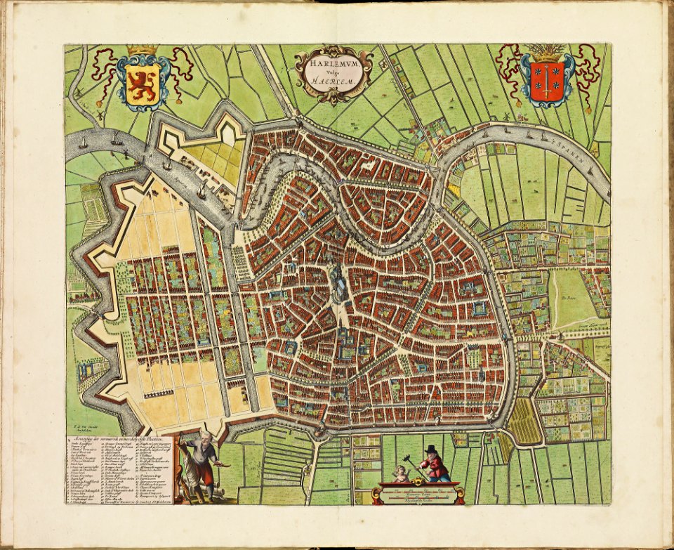
old maps of haarlem
atlas de wit 1698
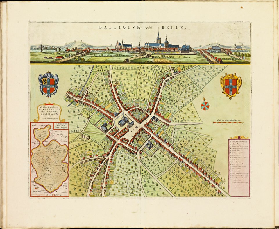
old maps of bailleul (nord)
atlas de wit 1698
description des principales villes (1690)
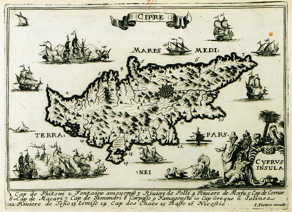
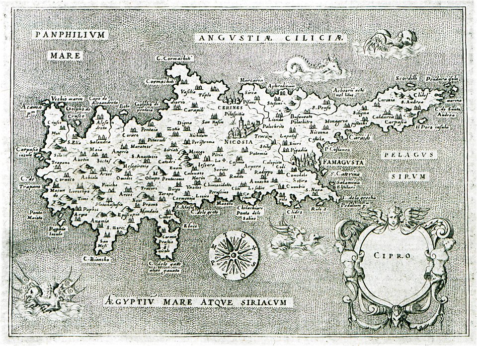
old maps of cyprus
l'isole più famose del mondo
old maps of cyprus
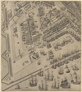
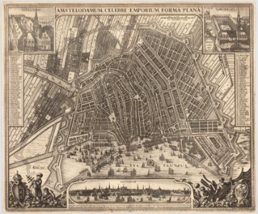
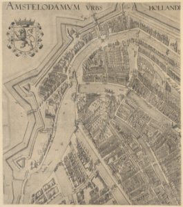
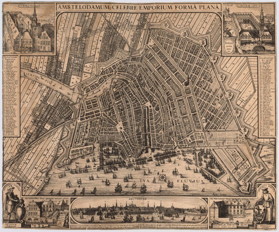
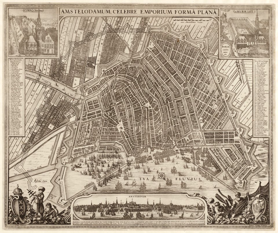
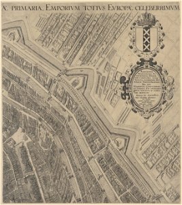
maps in the stadsarchief amsterdam
claes jansz. visscher (ii)
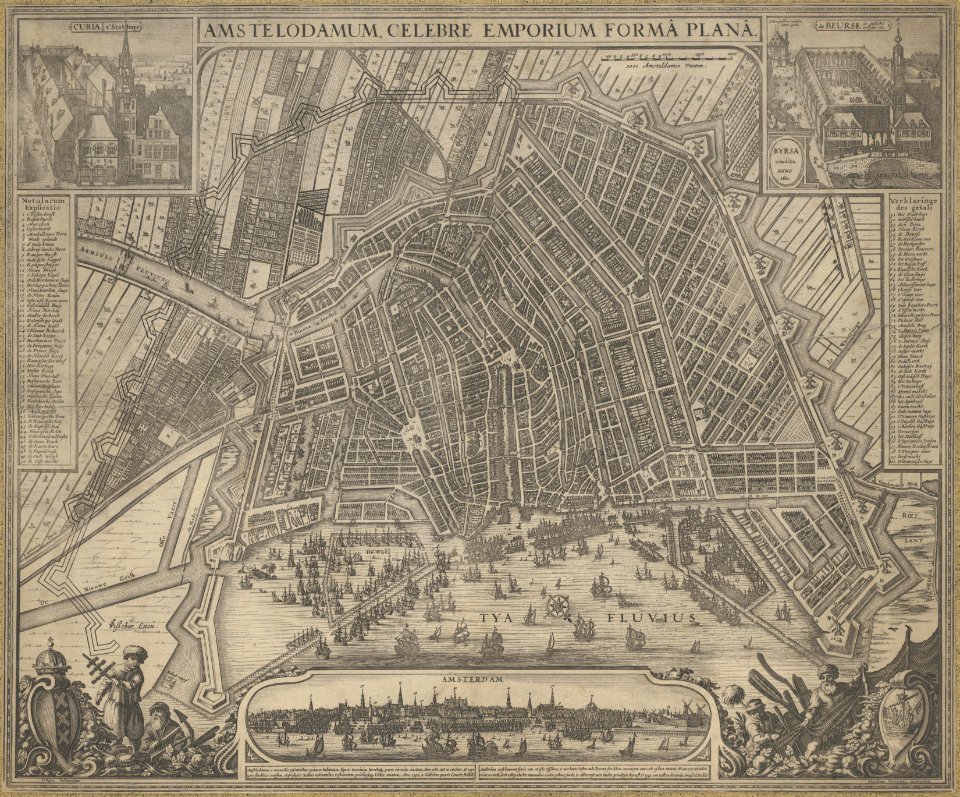
maps in the stadsarchief amsterdam
claes jansz. visscher (ii)
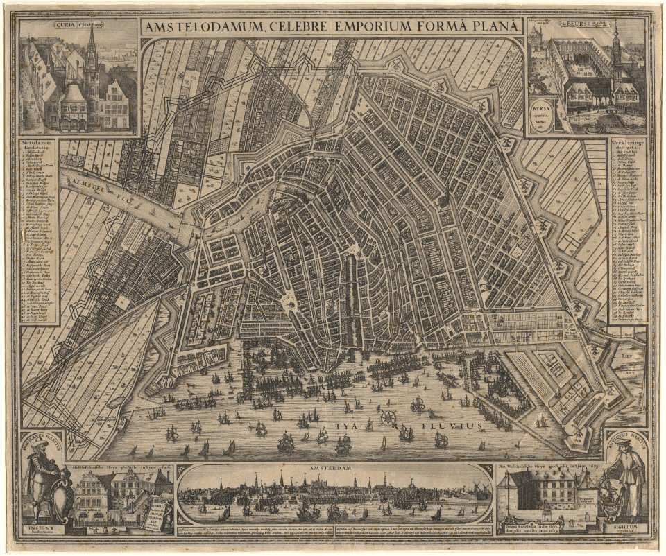
maps in the stadsarchief amsterdam
claes jansz. visscher (ii)
maps in the stadsarchief amsterdam
claes jansz. visscher (ii)
maps in the stadsarchief amsterdam
claes jansz. visscher (ii)
maps in the stadsarchief amsterdam
claes jansz. visscher (ii)
maps in the stadsarchief amsterdam
claes jansz. visscher (ii)
maps in the stadsarchief amsterdam
claes jansz. visscher (ii)
maps in the stadsarchief amsterdam
claes jansz. visscher (ii)
maps in the stadsarchief amsterdam
claes jansz. visscher (ii)
maps in the stadsarchief amsterdam
claes jansz. visscher (ii)
maps in the stadsarchief amsterdam
claes jansz. visscher (ii)
maps in the stadsarchief amsterdam
claes jansz. visscher (ii)
maps in the stadsarchief amsterdam
claes jansz. visscher (ii)
maps in the stadsarchief amsterdam
claes jansz. visscher (ii)
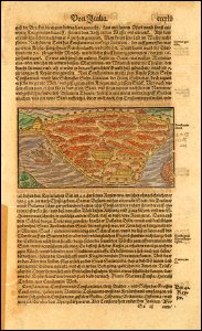
istanbul in the 16th century
maps by sebastian münster
istanbul in the 16th century
maps by sebastian münster
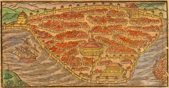
description des principales villes (1690)
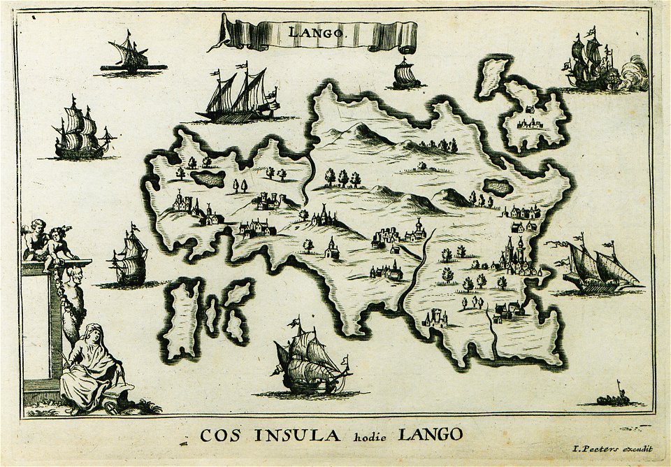
old maps of kos
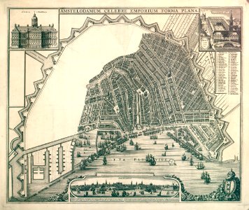
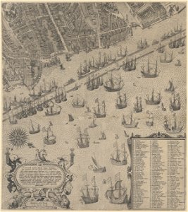
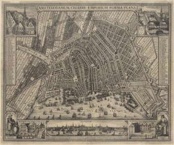
maps of amsterdam by cornelis anthonisz.
paintings of amsterdam
17th-century copper engravings
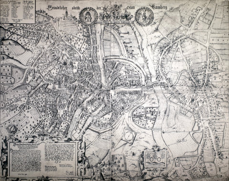
historisches museum bamberg
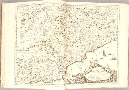
atlante veneto (raremaps.com) volume 2
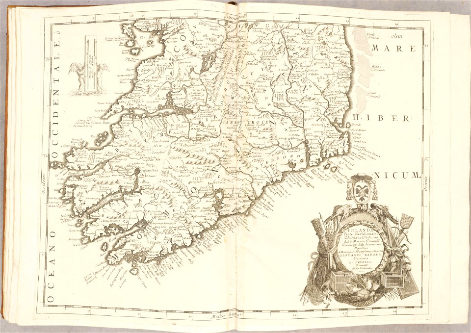
old maps of ireland
atlante veneto (raremaps.com) volume 2
1690s maps of liguria
atlante veneto (raremaps.com) volume 1
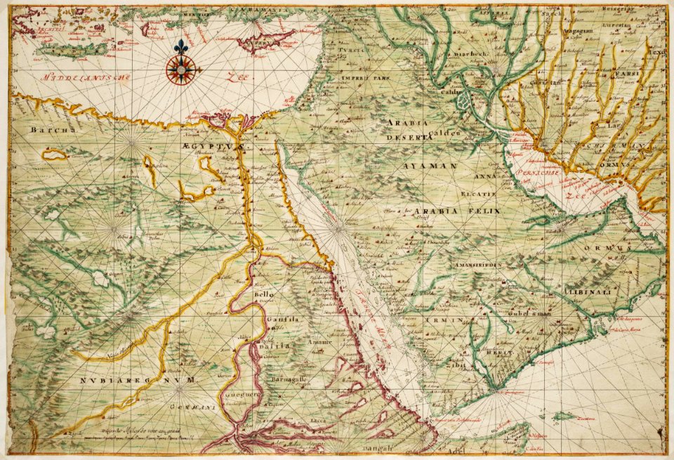
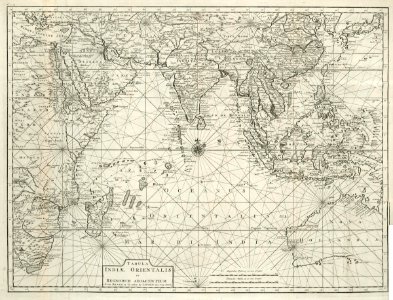
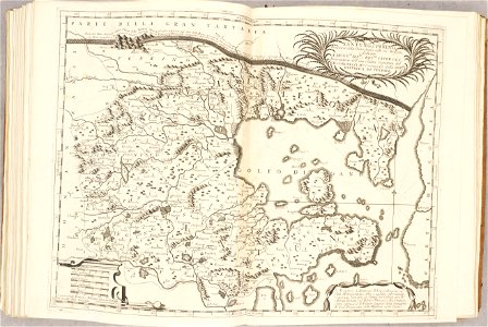
1690s maps of asia
atlante veneto (raremaps.com) volume 1
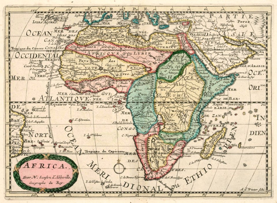
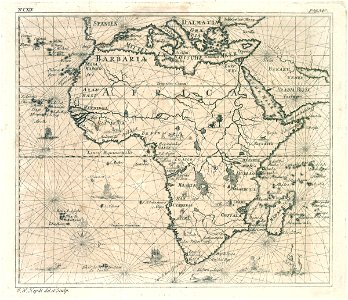
1690s maps of africa
atlante veneto (raremaps.com) volume 2
old maps of china
atlante veneto (raremaps.com) volume 2
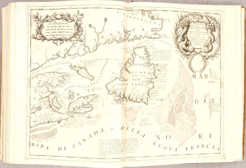
old maps of canada
charte von schwaben (bohnenberger)
19th-century maps of bavaria
charte von schwaben (bohnenberger)
old maps of bas-rhin
charte von schwaben (bohnenberger)
19th-century maps of bavaria
charte von schwaben (bohnenberger)
19th-century maps of bavaria
charte von schwaben (bohnenberger)
19th-century maps of bavaria
charte von schwaben (bohnenberger)
old maps of lake constance
charte von schwaben (bohnenberger)
old maps of bas-rhin
charte von schwaben (bohnenberger)
19th-century maps of bavaria
7101 - 7200 of 34,149
Next page
/ 342